Close
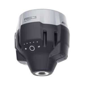
CORSnet is the largest Continuous Observation Reference Station (CORS) Network implemented in Kerala for the first time for Real-Time Correction (RTK) broadcasting services. Users of CORSnet can expect centimetre level RTK accuracies and raw “Rinex” data for post processing.
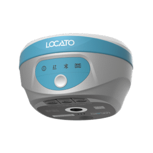
CORSnet has more than 15 reference stations covering most parts of Sri Lanka to provide you with a reliable RTK Correction service for your positioning requirements.
CORSnet has more than 15 reference stations covering most parts of Sri Lanka to provide you with a reliable RTK Correction service for your positioning requirements.
Highly reliable and accurate positioning accuracy up to centimeter level.
Highly reliable and accurate positioning accuracy up to centimeter level.
Fast and efficient surveying solutions with a simple ‘Plug & Play’ connectivity.
Fast and efficient surveying solutions with a simple ‘Plug & Play’ connectivity.
Users willing to engage CORS subscriptions in GNSS applications could login into the network with the GNSS receivers using pre-purchased CORSnet login credentials
Users willing to engage CORS subscriptions in GNSS applications could login into the network with the GNSS receivers using pre-purchased CORSnet login credentials
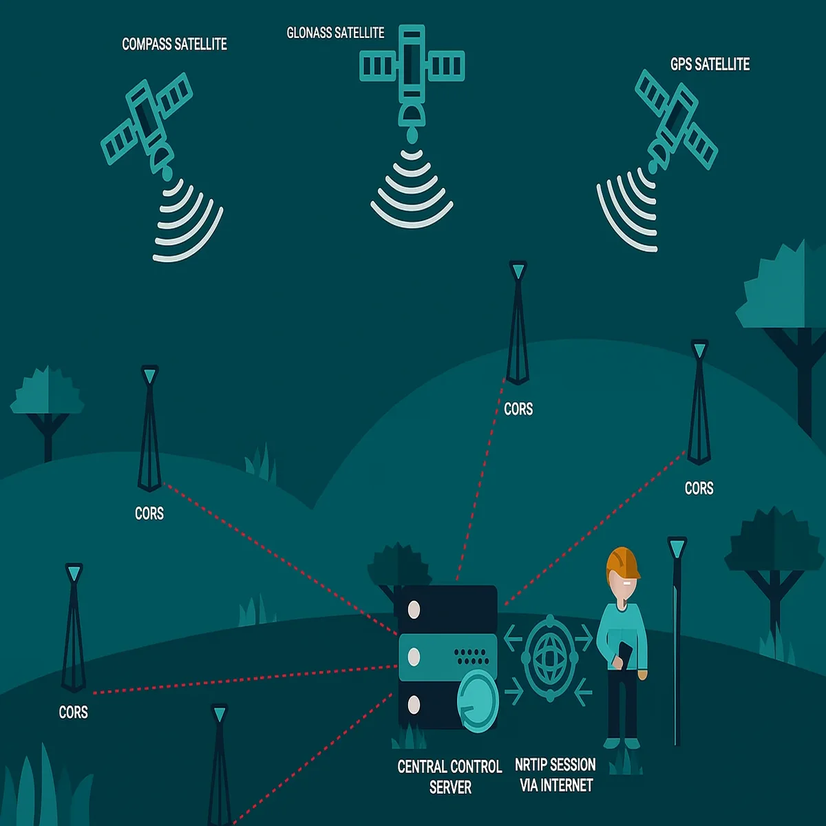
A CORS Network is a virtual RTK correction broadcasting network comprises of several permanent grounds located high accuracy GNSS receivers. These networks are commonly called NRS or VRS networks. Availability of these types of network eliminates the necessity of having ground marked reference points for control surveying.
Location data observed by several high accuracy GNSS receivers, commonly known as CORS are being processed at a central server. Processed data will be broadcasted to RTK Receivers via GPRS allowing users to obtain high accuracy positioning coordinates.
Today, CORS Networks are operating in many countries over the world, such as the US, Canada, UK, Ireland, Germany, Spain, Hong Kong and parts of Australia, just to name a few. CORS Networks can vary in size, from small local networks consisting of one or only a few reference stations, to dozens of reference stations covering large areas.
Users who want to engage in RTK, GIS, and Post Processing surveying have simply login to the network with their GNSS receivers using pre purchased login credentials. Once logged in, differential corrections will be received via GPRS to the users’ device making the working mode into Fixed or RTD.
We offer expert post-processing services for Static Observation campaigns. Simply upload your raw data files in RINEX 3.02 or newer formats, along with relevant antenna and receiver details. Based on your requirements, we’ll deliver precise coordinate adjustments and detailed reports in both local and WGS84 coordinate systems.
Our CORSnet system stores observational and navigational data from all CORS stations nationwide in RINEX (Receiver Independent Exchange) format. We collect data from GPS, GLONASS, BEIDOU, and GALILEO satellites.
Data is updated every 24 hours, recorded at 10-second intervals, and made available in RINEX 3.02 format. You can check availability and request downloads directly from our servers.
The Most Trusted Real Time GNSS Positioning Service in Kerala
Don't have an account yet? Sign up
No products in the cart.